9 summer walks
in Limburg
The most beautiful summer walks
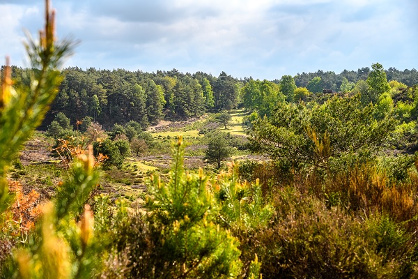
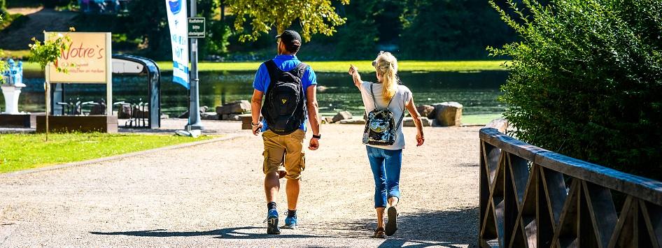
Summer is the ideal time to take a hike through Limburg's beautiful countryside. Cool down in one of the shady nature parks or walk from lake to lake where the cool breezes blow just a little harder than in the picturesque towns and villages. Below, we have highlighted nine summer walks for you that take you past the most beautiful, surprising and summery spots in the heart of Limburg. The walks all follow the hiking junctions.
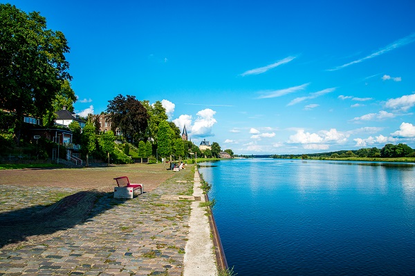
1. Between Mortel, Maas en Swalmdal
The hiking route 'Between Mortel, Maas en Swalmdal' takes you through the village of Beesel and the beautiful nature of the outlying area of Beesel that has been shaped by the Maas over the years.
Distance: 8,4 km
Starting point: de Markt in Beesel, junction 1
2. Muddy walk through the Caselse Vennen
Put on your boots or waterproof hiking shoes for this nature walk through the Caselse Vennen. The adventurous hiking route, created in 1997, largely runs along former bog paths and wooded banks. During the walk, obstacles such as fallen trees sometimes have to be overcome. Certain parts of the route can also be very boggy, so wearing boots is highly recommended.
Distance: 3,8 km
Starting point: junction 01, Lollebeekweg 72, Castenray
3. Panorama Kessel
The Panorama route starts in Kessel where you immediately walk along the Maas boulevard. You cross the Meuse by ferry and walk along the old ferry route along the Meuse with a beautiful panorama of Kessel, which lies high on the Meuse bank.
Distance: 8 km
Starting point: nearby the Maasboulevard in Kessel, junction 9
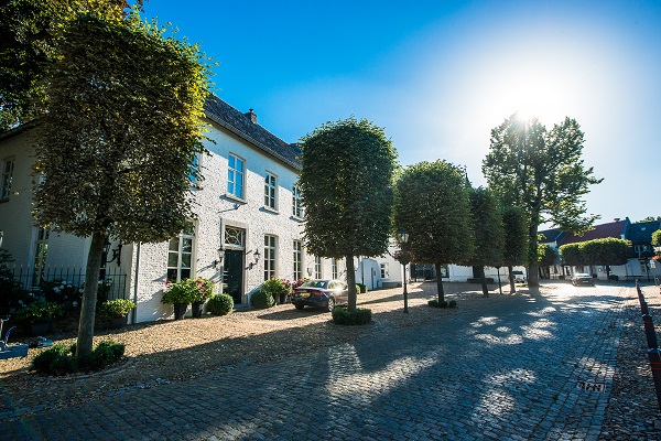
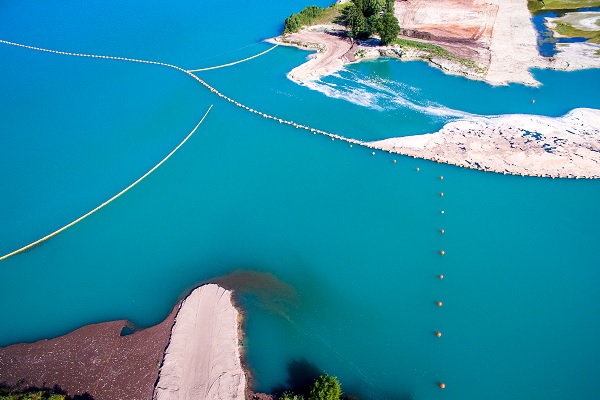
4. Beautiful places on the island in the Maas
Stevensweert and Ohé en Laak are situated on an island between two arms of the Meuse. The island is approximately 5 km long and 2.5 km wide. This unique location has determined the history of both villages.
Distance: 12,6 km
Starting point: Hompesche Molen Stevensweert, junction 61
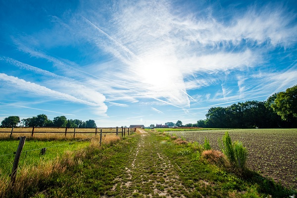
5. Walking route Neer: Peelrand fault
During this hike, you will walk through the rural outskirts of Neer and cross the infamous Peelrand fault that caused the worst earthquake in the Netherlands in 1992. The hike starts behind the monumental Sint-Martinus church in Neer.
Distance: 6,4 km
Starting point: former town hall Neer, junction 6
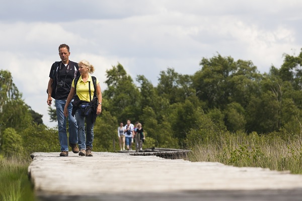
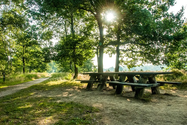
6. Knuppelbrug in de Peel
The Peel is as Dutch as it gets. Yet, during the walk 'Knuppelbrug-Red' you will discover that this area on the border of North-Brabant and Limburg can hardly be compared to other parts of our country.
Distance: 3 km
Starting point: Buitencentrum de Pelen, junction 82
7. IJzeren Man (orange route)
In the hiking forest of the IJzeren Man, recreation and nature are intimately linked. Most of this versatile area consists of coniferous and deciduous forests, heathland, drifting dunes, streams and natural pools. This orange route is the most extensive route of the IJzeren Man area. You pass several fens, through varied landscapes and along the Blauwe Meertje.
Distance: 6,2 km
Starting point: Parking lot NMC de IJzeren Man, Geurtsvenweg 4 in Weert.
8. The Rode Beek in Roerdalen
On the Rode Beek hiking route, you will notice how varied this landscape is. The route runs through the woods with many different types of trees, then along meadows and wooded banks directly into the swampy nature reserve De Turfkoelen.
Distance: 9,9 km
Starting point: National Park de Meinweg, junction 41
9. Schwalmbrüch
The route follows the river Swalm on both the Dutch and German side. Via the Groenewoud in the Dutch village of Swalmen, you walk through the beautiful forests of the Elmpter Bruch in Germany. While doing so, you always walk in the vicinity of the meandering river the Swalm. This hike alternates beautiful views with rustic spots in the forest.
Distance: 14,7 km
Starting point: Inn de Bos, Bosstraat 115 in Swalmen