Because the Meuse (Maas) needs more space when the river is high, trenches have been dug. These prevent the country downstream flooding, as happened in 1995. The trenches leave the landscape looking something like it would have appeared thousands of years ago.
This is a river with a turbulent history of erosion and deposition, of devastating floods and parched riverbeds. You can see that clearly in the different levels of the landscape. The high branch of the Meuse between Blitterswijck and Meerlo was formed around 14,000 years ago, when the climate was warm, when the river followed a meandering route in a deep channel. When the water is high, the river throws up banks that may be several metres tall. In colder climes, as at the close of the last Ice Age, the river followed a braided course. The braided channels carried thick grained sediment, such as coarse sand, gravel and pebbles. When winters were dry, the kilometre-wide braided river would lie exposed. And then the powerful west wind would whip up sediment from the riverbed to form the Mease dunes.
The undulating river dunes near Blitterswijck and Ooijen are covered with pine forest. Here for all to see lies 15,000 years of a river’s history!
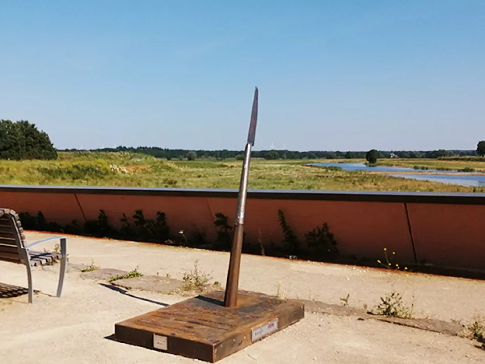
PLEASE NOTE: The location of the spear is at the overlook near the car park of Ooyen Castle. Here you have a beautiful view of part of the newly laid out Maaspark.
TIP: This location is part of the Ode aan de Maas
Find also other Archeo Route Limburg locations


