But first, we walk a very short distance in the direction of Groningen. Facing the signpost we turn left, to the barrier and then shortly over a wide dirt forest road. The entire route we follow the signs with the meandering W of the Wasser, Wander, Welt Maas-Schwalm-Nette (partly also the red-white of the GR trail). Further up the trail, we're heading for a slight uphill climb, the Bosberg. This is a forest area where we find a total of 11 prehistoric burial mounds dating from 1600 to 1300 BC. On top of that Bosberg hill, there used to be the gallows of the municipality of Swalmen.
Upland terrace
The first part of the hike takes us mostly through shady forests. That certainly doesn't change when we cross the national border at border post 411 and start hiking in Germany for a while. Through the Diergardtscher Wald nature reserve, a forest located on the so-called high terrace of the Meuse. So the landscape is undulating. A little bit of climbing and a little bit of descending, but on wide forest roads. After a while, we have to turn right at a fork in the road. What we can't see on our left is the Brachter Wald, which is also a nature reserve, but also a forest with a story. From 1948 to 1996 one of the largest ammunition depots in Western Europe was located here. The British army kept an average of 50,000 tons of ammunition here just in case... This included atomic weapons. In 1984, a British nuclear bomb rolled off a truck. That dangerous incident was top secret and was not made public until 2007.
Pools
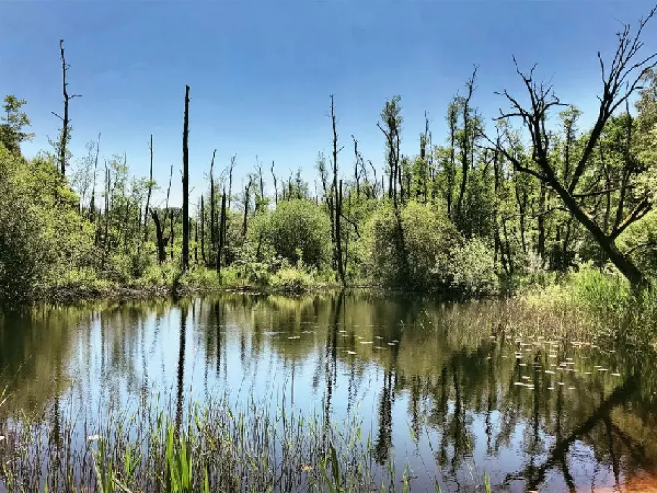
Carefree we walk on in the shade of tall trees. When descending from the plateau we turn right and then immediately leave. We cross the not too busy road Swalmen-Brüggen and walk past the house on the other side. After a few dozen meters we cross the Swalm for the first time. Further on we turn left and enter the Elmpter Schwalmbruch. This is a rather large peat bog. There are several beautiful pools and the area is home to the largest juniper bush in the Lower Rhine. Heath sheep graze the area where rare plants, animals, and reptiles can be found. If you are lucky, you may find a smooth snake in your path. We see lots of dragonflies at a beautiful pond with reeds, water plants, and living but also dead trees.
The route also leads along an arm of the Swalm. The river itself is unfortunately mostly canalized on German territory. The source of the 45 kilometer long Swalm lies at Castle Tüschenbroich near Wegberg. Only 12 kilometers of the Swalm flow on Dutch territory, but we're still far from that. At a T-junction with a bench, we turn right and follow X and A5. If you want to walk the whole 15.5 kilometers of this W-route, further on a walk right along the Baggersee and again further on enjoy the view from the watchtower, you have to turn left. As we turn right, we pass the juniper bushes and can walk along a deck path right next to another pool where again many dragonflies skim past.
Border path
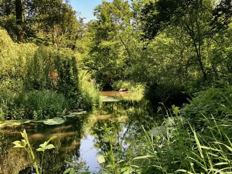
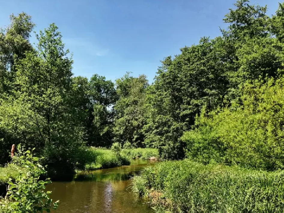
Further on a fork in the road with a covered bench straight ahead, at the next fork in the road turn right (towards Swalmen), past a very detached house with a flower garden 2 times straight ahead, and then turn right at the boundary post 417. On the so-called border path. Germany is on our right and the Netherlands on our left. After the border path, we walk for a while through open farmland. Also a bit on asphalt. In a bend we have to turn left and along the forest edge and - note - after about a hundred meters we have to turn right through a wooden fence. From now on we walk along the meandering Swalm on Dutch territory. Sometimes we have to walk over wooden steps. At times it seems as if the water in the small river is standing still and further on there are suddenly 'noisy' rapids.
At a paved road turn right and before the bridge over the Swalm turn left and continue on a forest path. Not the entire remaining part runs along the Swalm. We have to pass through two gates to get to a grazing area for wild animals - which we don't get to see - and before and after Hoeve de Hout we have to pass through 4 gates in total. At the crossroads near a house, we turn right and walk towards the Swalm. Via a small bridge, we cross the Swalm. First a piece on a wide forest path. Attention, before a guesthouse, turn right and over a narrow winding forest path with once again the Swalm to touch. The Swalm flows from here in the direction of the Meuse, and we walk back to the starting point.
Source: Chapeau Magazine
Photo: eighty8things


