You start the walk at node 85 near the church and the former town hall. From there, you walk in the direction of junction 82. You leave the village over a bridge across the - now meandering - Haelense beek and take a look around the courtyard of an 18th-century monumental farm: de Strikkenhof.
Mills
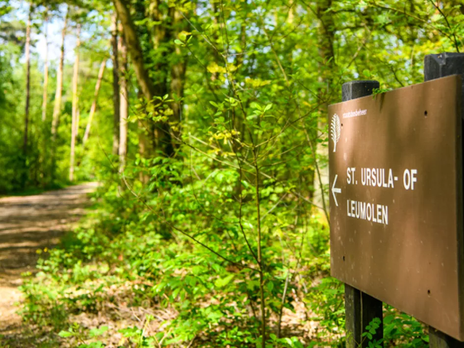
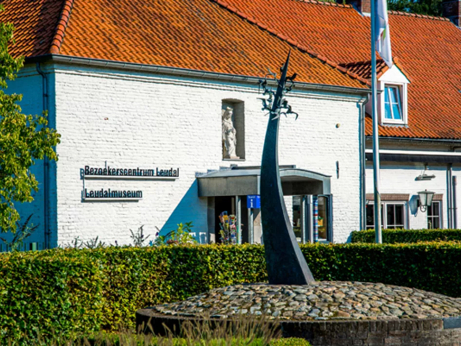
After 15 minutes you reach the edge of the well-known Leudal nature reserve and walk towards the Ursula or Leumolen: a grain and oil mill. The mill was first mentioned in 1461. The current mill building dates from 1773. In the niche in the façade is a statue of Saint Ursula, made by sculptor Eugène Eggen. In 2008, the meadow in front of the mill was planted with standard trees, as was common on many farms in earlier years.
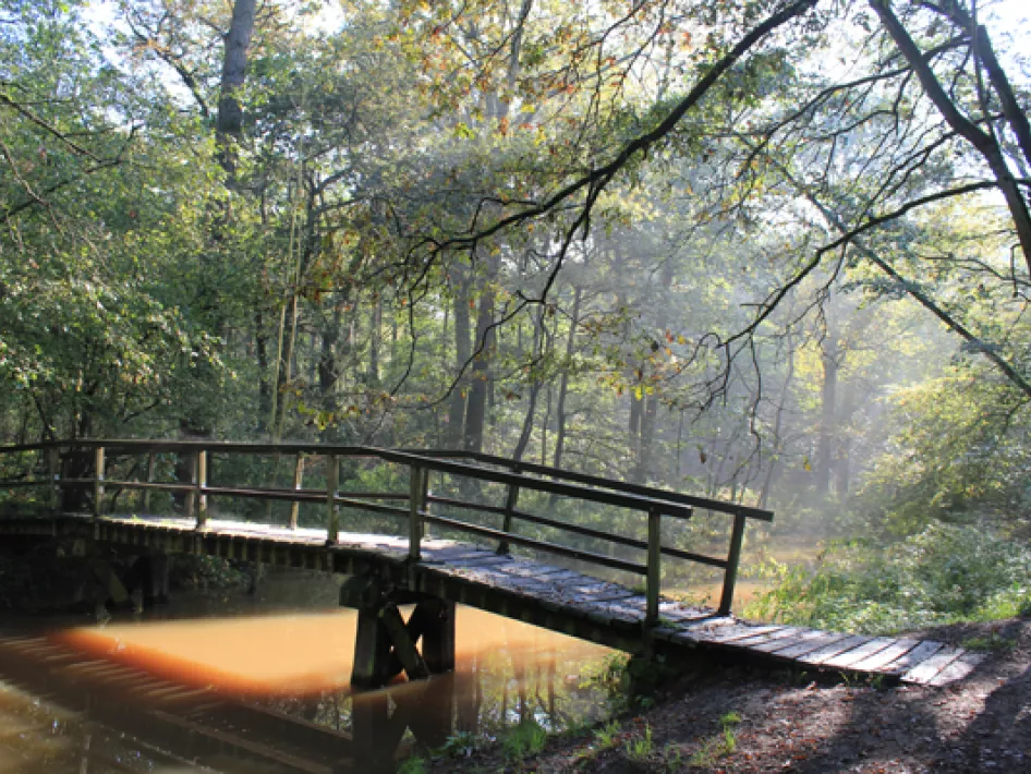
The route continues along the beautiful meandering Leubeek and crosses it at the Koebrug (cow bridge). At some places you will see feeding tracks of beavers and with a bit of luck you may spot kingfishers.
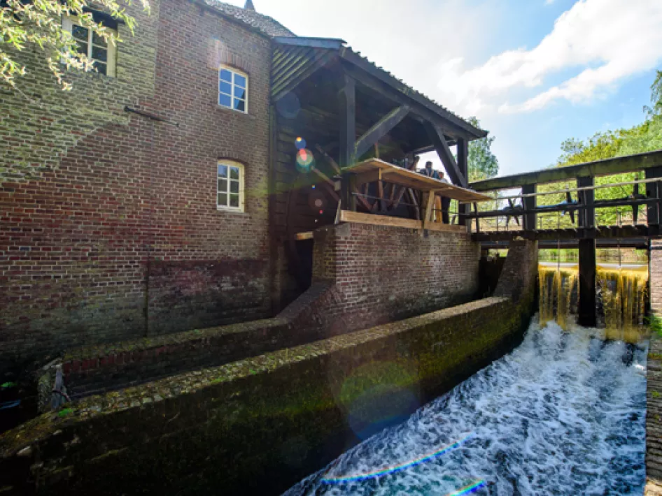
Then you come to the second water mill along the route: the Elisabeths mill. The first mention of this mill dates back to the year 1278. At the end of the Second World War, ammunition was stored in the mill building. This ammunition was detonated by the retreating occupying forces, which turned the mill into a ruin. In 2014, the ruin was preserved and a modern water wheel was installed to which a generator generates electricity.
Monument of Tolerance
Also stop for a moment at the Monument of Tolerance. This monument commemorates the years 1940 - 1944 and the 687 soldiers of 11 nationalities who died in the Leudal area during those years. Every year, in the month of November, a commemoration takes place in which veterans of all sides from the last war participate.
Professor Dubois
Again, you pass an old farm. In front of it you find a small bakery where, in days gone by, bread and flans were baked. Such a building was separate from the farmhouse to prevent fire.
Via an open field of heather and past a spot where a sign indicates that the mounds in the landscape are burial mounds from the Bronze and Iron Ages, you arrive at the area of the Grote Bedelaar: an estate that was built by the anthropologist Eugène Dubois.
Some 40 metres after junction 96, you briefly leave the junction route and enter the estate through the gate on the right to visit the owl tower built by Professor Dubois in the woods. The tower has holes in the walls through which winged animals can enter and exit. The tower has four floors. Respectively for owls, kestrels, swallows and bats.
Return to the route and continue towards the starting point.


