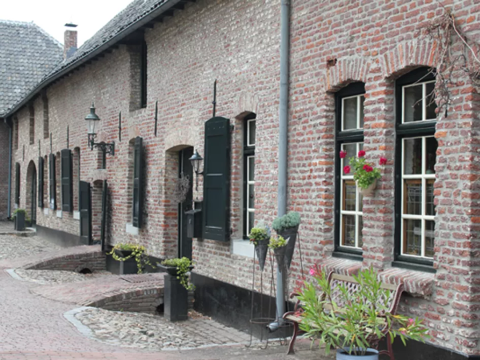
More than 20 buildings of the approximately 1,300 inhabitants of Neeritter are on the national monument list. Many of these buildings are around the Krekelsbergplein.
You start your walk at the start sign for Knopen Lopen on this square (opposite Bosstraat 5) but before you set off, allow yourself some time to look at all the beauty around the square. Leave the village via Bosstraat towards Haler and walk to node 55.
Revolution and Heioord
Soon, the trail goes through small forest plots and past farmland.
After half an hour of walking, you cross the border and visit fellow Limburgers from Molenbeersel.
In the early 19th century, the Belgian and Dutch provinces were united into one state. However, much of the "Belgians" could not live with that. In September 1830, a revolution broke out that eventually led to the separation of Belgium and the Netherlands.
There is no sign of revolution when walking through the peaceful hamlet of Heioord. In the trout pond of the same name, judging by the number of cars in the car park, fishing seems to be good. The text on an information board along the route teaches that Heioord, which has rich flora and fauna, is a former moorland that was reclaimed for agriculture.
Via the Uffelsemolen back to the village
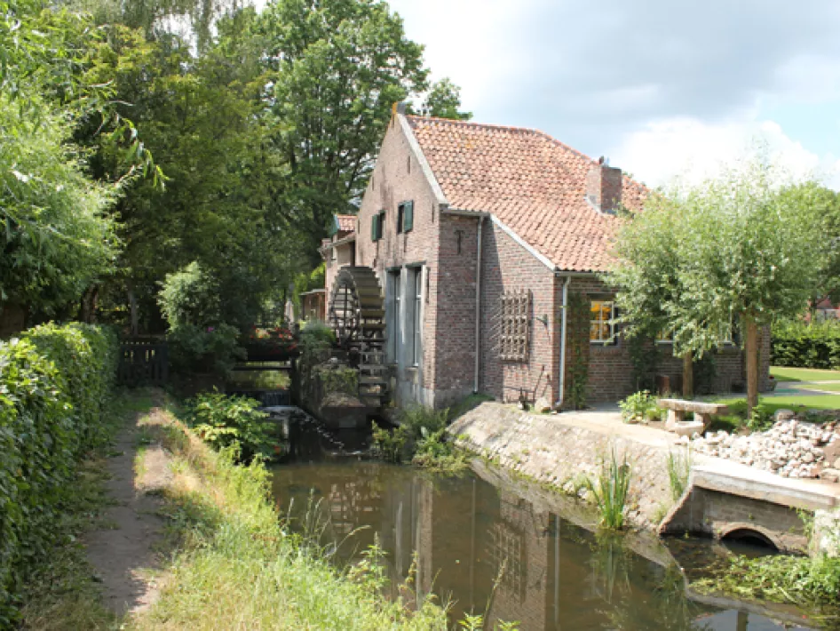
You cross the Uffelse Beek (or Abeek) and head towards Uffelse Molen. Located on Haler territory, the mill dates from the thirteenth or fourteenth century. In 1726, the mill was destroyed by fire. Most of the current buildings are from after the fire.
The Uffelse Mill was a so-called ban mill. This meant that the "lord" who owned such a mill obliged the inhabitants to have their grain ground by his mill. The mill is fully grinding capable but is powered not by water power but by a diesel engine.
If you have long been looking for something you once lost, ask St Antonius in his chapel near the mill to help you look for it.
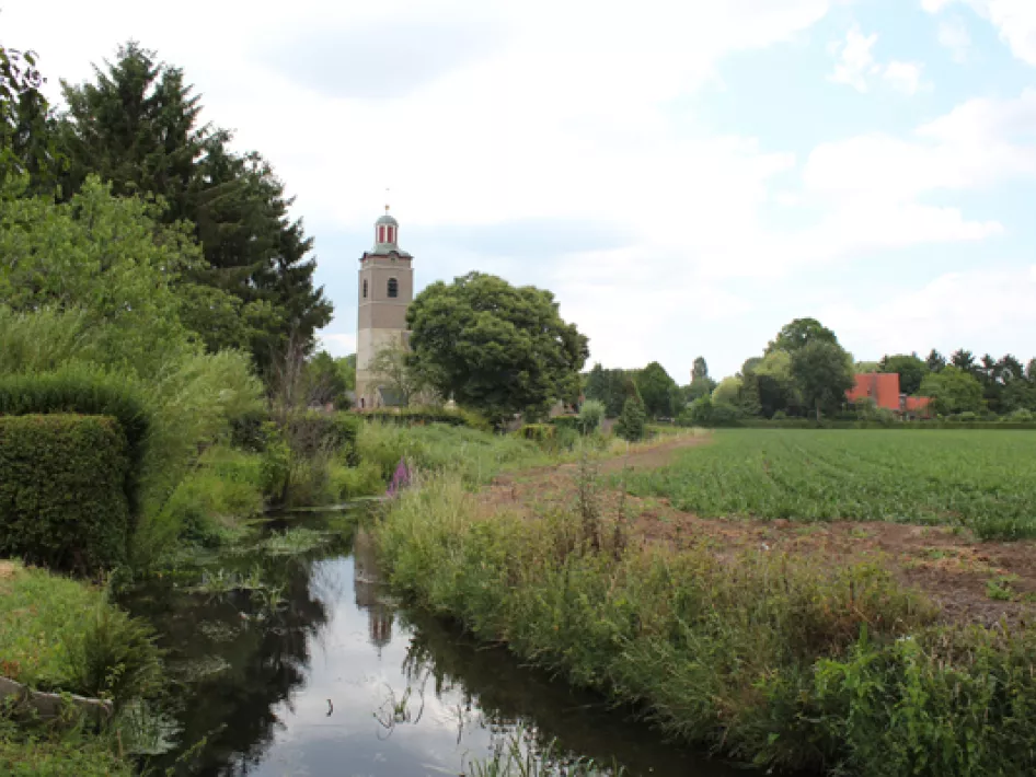
You return to the village via Sniekstraat and over a pretty wooded bank. Although not quite on the route, the somewhat strangely situated Sint Lambertus church - a jewel - is well worth a visit. The oldest part of the church dates from the 13th century and the current nave was built in the 14th century. The tower features a so-called lantern. If you are lucky enough to find the church open, admire the beautiful interior as well.


