Leudal Cycling Route

Starting point of the Leudal Cycling Route:
Koppelstraat 1
6088 EM
Roggel
Aerial photo of the historic watermill, Ursulamolen, with a red roof, located by a stream in a green landscape with walking paths and people on benches.
A white chapel with tall windows and a pointed roof, nestled in a wooded area with wooden benches on a slope.
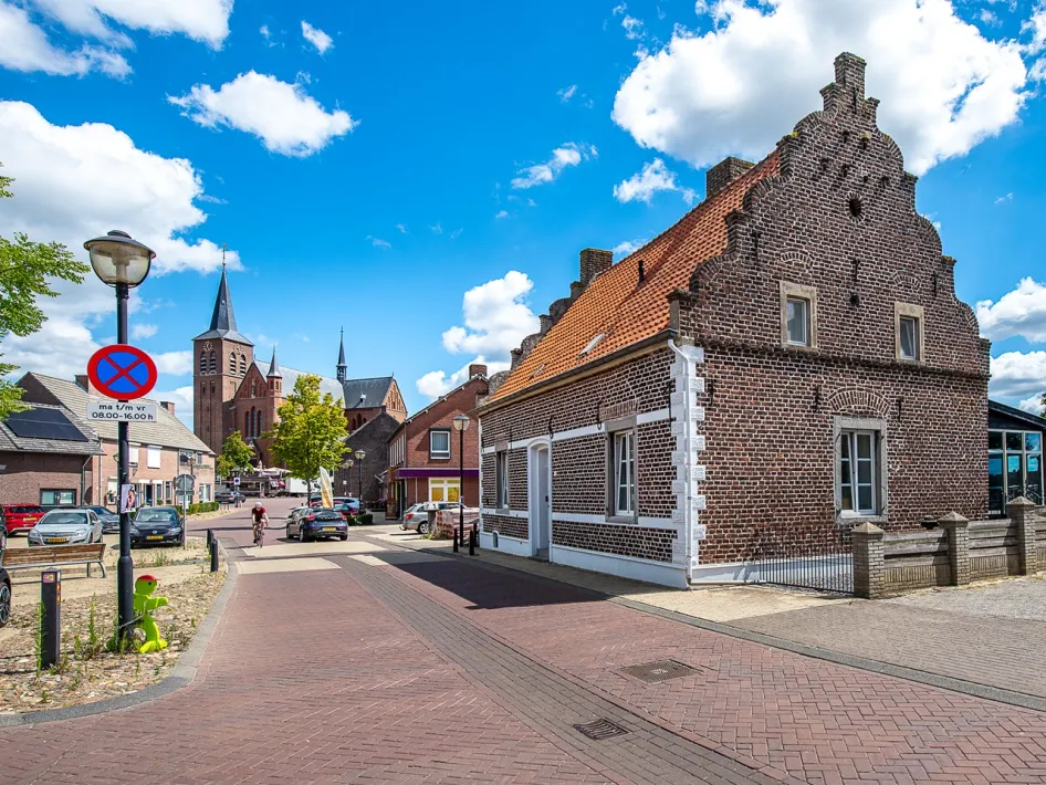
A village street in Neer with old brick houses, red tiled roofs, and in the background a large church with multiple towers under a blue sky with clouds.
A white country house surrounded by tall trees, with sunlight streaming through the leaves onto a gravel path and green lawns.
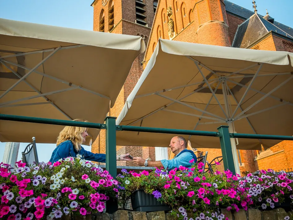
Two people sit on a flower-filled terrace along the Leudal Cycling Route, with a large brick church and beige parasols in the background.

Cycle route

Cycling through Leudal means cycling through a living landscape. The Leudal Cycling Route covers 31.6 kilometers and takes you past streams, leafy forests, fields, and meadows. A ride full of variety, tranquility, and special places in the heart of Central Limburg.

A loop through Leudal

The route makes a wide circle through the Leudal nature reserve. It starts with a broad arc around the valley and descends near the village of Neer into the eastern part. The scenery keeps changing – from open fields to shaded woods.

Via Nunhem and Heibloem

You’ll pass through Nunhem, a charming village with a chapel and lots of greenery. The route then winds its way via quiet country roads to the church village of Heibloem, where peace and quiet reign.

Past the Spanish Forest and the Sint Petrus Mill

In the second half of the route, you cycle past the mysterious Spanish Forest and the picturesque Sint Petrus Mill. Time for a break? In Roggel you’ll find cozy cafés and terraces – perfect for a rest.

The heart of the route: Leudal nature reserve

From Roggel, you ride deep into Leudal itself. This is one of the most beautiful stream valleys in the Netherlands. The Leubeek and Zelsterbeek have carved deep paths through the landscape. You'll ride beneath tall deciduous trees, along grassy fields and colorful farmland.

Properties
Route: 25-35 km.
Numbered junction network route
Route from A to A

Nearby

The distances mentioned below are the distances from the location above.


2,46km
Restaurant
 
5,98km
Restaurant
 
7,39km
Restaurant
 
7,88km
Restaurant
 
7,91km
Terrace
 
8,05km
Restaurant
 
8,18km
Restaurant
 
8,26km
Restaurant
 
 
8,49km
Restaurant
 
8,51km
Restaurant
 
8,62km
Restaurant
 
8,63km
Restaurant
 
8,68km
Restaurant
 
8,69km
Restaurant
 
8,70km
Restaurant
 
8,90km
Restaurant
 
8,95km
Lunchroom
 
8,95km
Restaurant
 
8,95km
Restaurant
 
9,04km
Restaurant
 
9,16km
Restaurant
 
9,16km
Restaurant
 
9,18km
Restaurant
 
9,21km
Restaurant
 
9,22km
Restaurant
 
9,43km
Restaurant