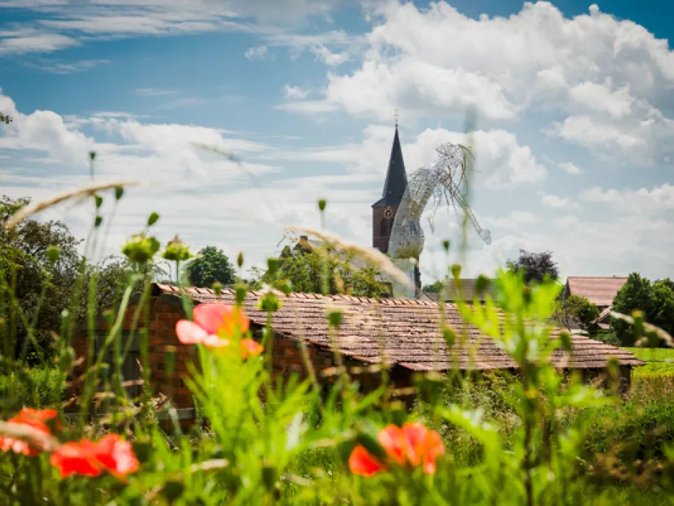
This walking route leads from the Market of Beesel past the church and the ceramic panels to the old cemetery, located in 'Aad Dörp'.
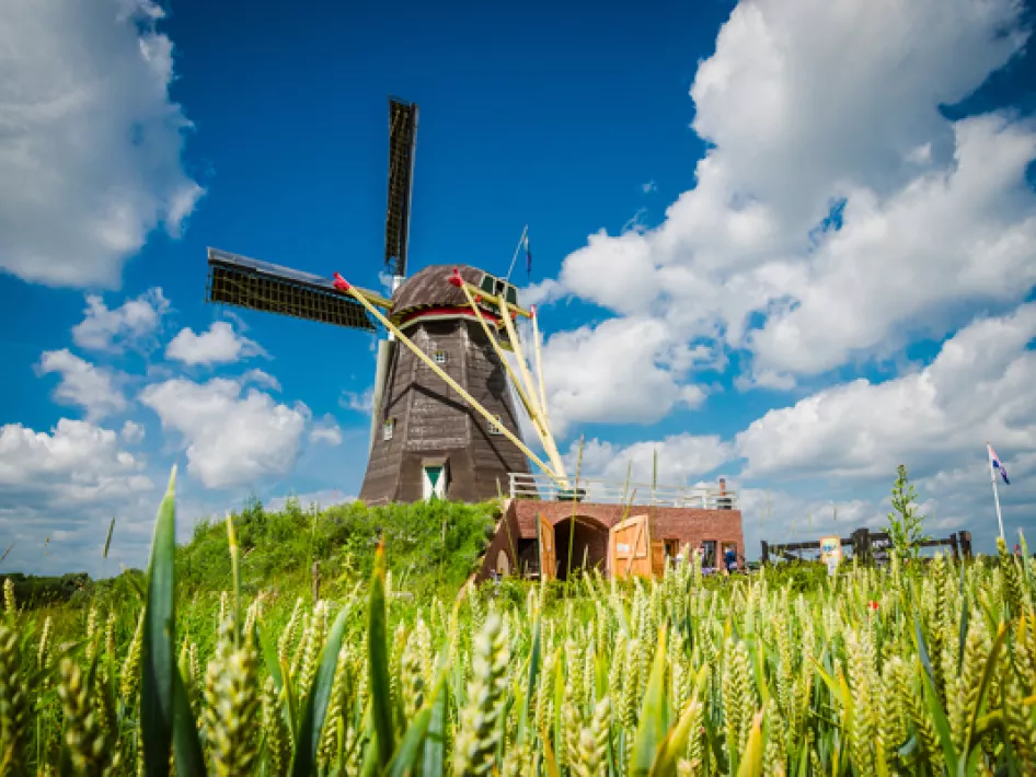
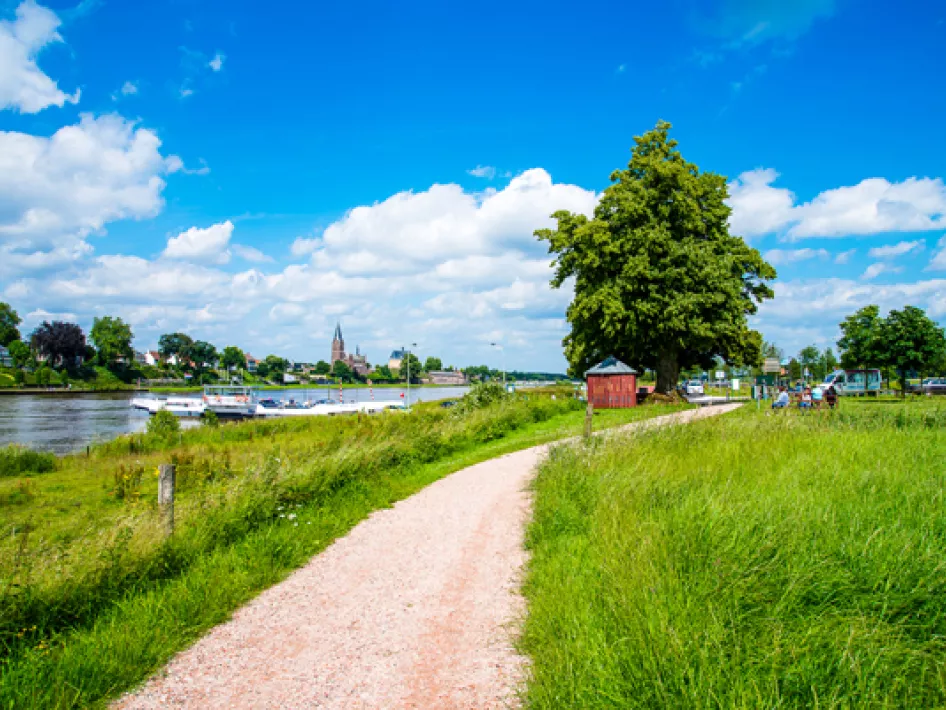
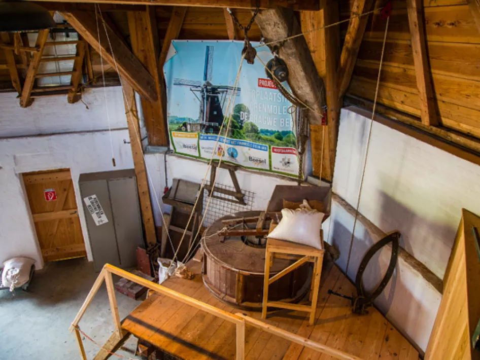
In a southerly direction you can see the mill de Grauwe Beer. Behind the mill you walk through the floodplains with stream valley grasslands. The Maas has shaped this area and earthworks, together with nature development, have created new nature.
Via the edge of the hamlet of Rijkel you come to the Donderberg, the southernmost shifting dune near the Meuse, which is covered with mixed forest. Here the river Swalm, one of the few original meandering rivers in the Netherlands, flows into the dead arm of the Meuse.
You continue through the Swalm valley with magnificent views and unique landscape features. Dominant in this area is the farm the Hoosterhof. Via the hamlet of Rookhuizen you leave the Swalm valley.
After some time, on a partly paved road, you arrive in Rijkel at a bakery house. The route then continues over a path that is the dividing line between forest and arable land and ends up at de Mortel; a former clay pit.
The route then approaches the built-up area and ends back in the center of Beesel.
