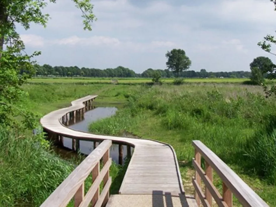
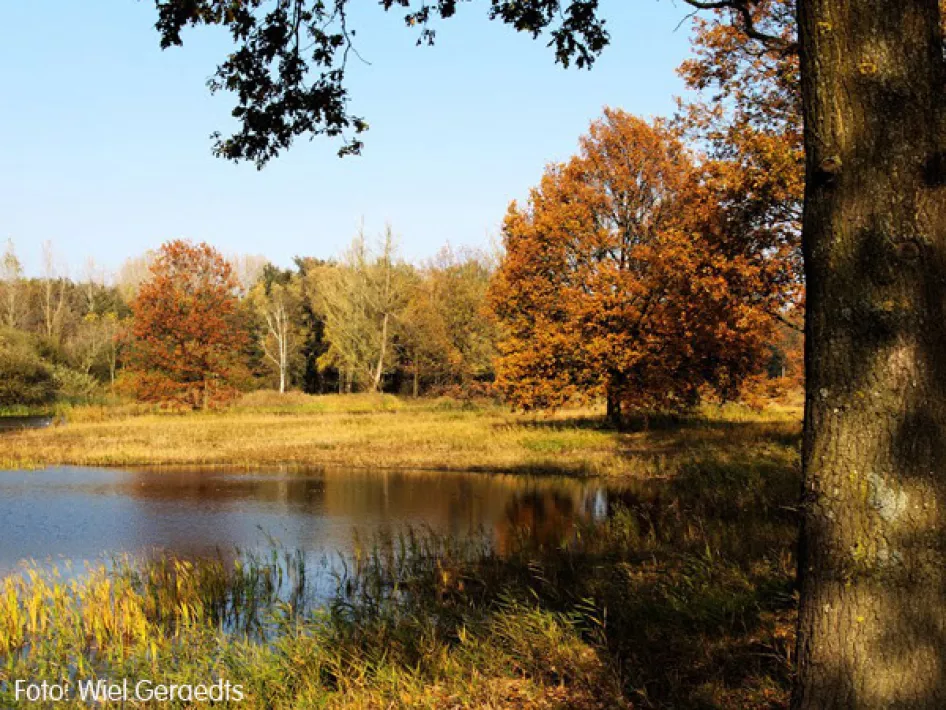
From the station in Weert you walk via the Graswinkel and the field roads around the Moeselpeel to the Krang. Via Swartbroek you reach the Ellburg nature reserve with the Tungelroyse Beek and the Eller Schans. Afterwards you go back in the direction of Tungelroy and visit the Tungeler Red Light District with its sand walls and sand drifts. Via the Areven you will then reach Stramproy.
The Count of Hornepad then passes the Belgian border, through the Grootbroek and along the Aa. After Vosseven and the Stramproyse heath, the wet nature in the Wijfelterbroek and the Smeetshof is a surprise for every hiker.
The total length is 92 km and is marked yellow/blue. You can also walk the route in stages and it is suitable for Nordic walking.
Walking association Olat has marked out the route. The walk starts at the station in Weert, but can start at any place. The entire route can also be walked in six stages. The total route, but also the 6 stages can be downloaded as GPX.
GPX bestand totale route. GPX-bestand etappe 1. GPX-bestand etappe 2. GPX-bestand etappe 3. GPX-bestand etappe 4. GPX-bestand etappe 5. GPX-bestand etappe 6.

