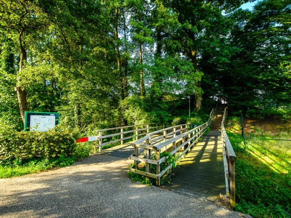
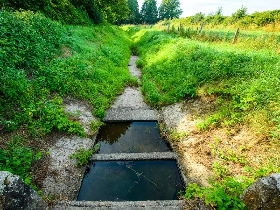
You start behind the monumental Sint-Martinuskerk walk up an old 'kirkepaedje' on the right after Hoogstraat 2a and cross the Napoleonsweg. About 50 metres after the first T-junction, you cross the Peelrand fault on the slope. You then come to the former monastery farmstead Keizerbos (1230). At the back of the farm, you walk along the little river de Kwir (historical name Keizer), which was formed by the Peelrand fault and drains the reddish-brown seepage water that collides with the 1.5-metre-high peelhorst. Between nodes 23 and 24, this small river makes a loop where seepage water always comes to the surface, even in very dry seasons. At node 25, you will find explanations about the Peelrand fault.
Via the monumental house 'Maxe-Grete', you continue the route past beer brewery Lindenboom, the 'Naerse Sjans' and the Eiland (which is an island at high tide in the Meuse). The dyke is part of the 'bypass' (a diversion of the Neerbeek) used to divert water around the village at high tide. Over the weir and the still-operating Friedesse mill, you come to Bergerstraat where there was a gate in the village's defensive wall between 1500 and 1700. Through the Veurtje (formerly ford) you walk back to the starting point.
Share your love:#hartvanlimburg


