Discover the Beautiful Flora and Fauna: Vlodroppervenroute
This route takes you along several places of interest, including the Vlodropperven with its special flora and fauna.
Roerdalen Walking Network: Follow the Red Triangles
You can follow the route via the Roerdalen walking network. Note the red triangles on the poles of the network.
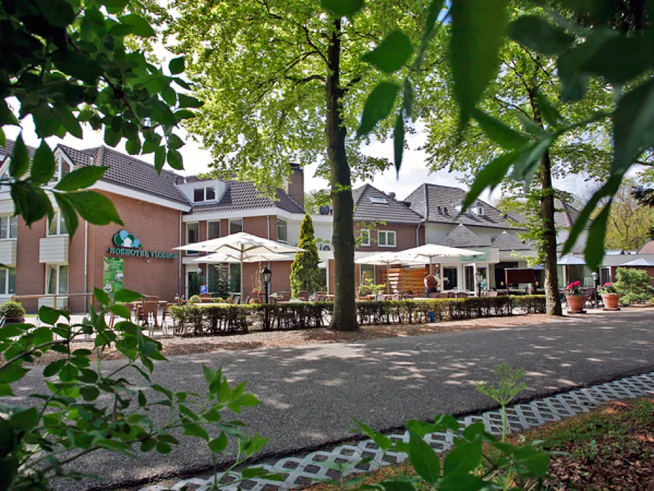
Starting point: Parking place at the Hooibaan or Boshotel Vlodrop
Start route: Parking lot near the Hooibaan
Start route: Parking lot at Boshotel Vlodrop at the Boslaan.
Discover the map of National Park De Meinweg-Leudal
The Hooibaan route is included in the map of National Park De Meinweg-Leudal. This map is available at various VVV locations and in the webshop. The map contains a total of 27 hiking routes, including the Vlodroppervenroute.

