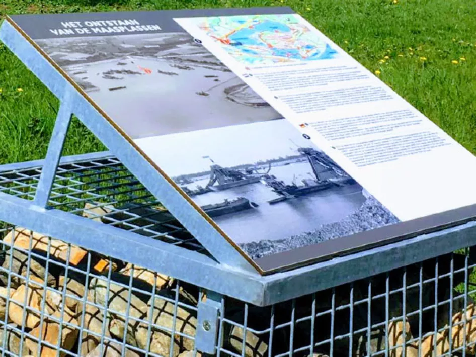
The members of the working group involved came up with the idea of placing information boards about the development of the Maasplassen around Heel. The signs provide information in words and images about the disconnections and the changes which, after a disconnection period of 40 years, have led to the creation of the current landscape. Three of the signs have been created in collaboration with WML and also provide information about the
The walk starts and ends at Don Bosco Cultural Centre. However, you can pick up at any node in the municipality of Maasgouw. The walk goes via junctions.
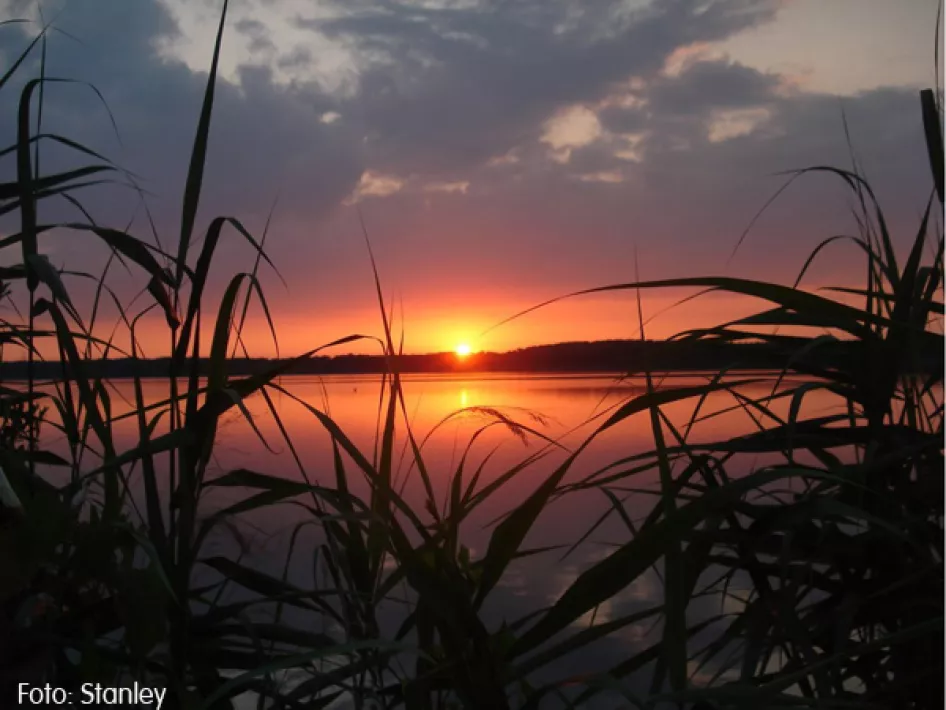
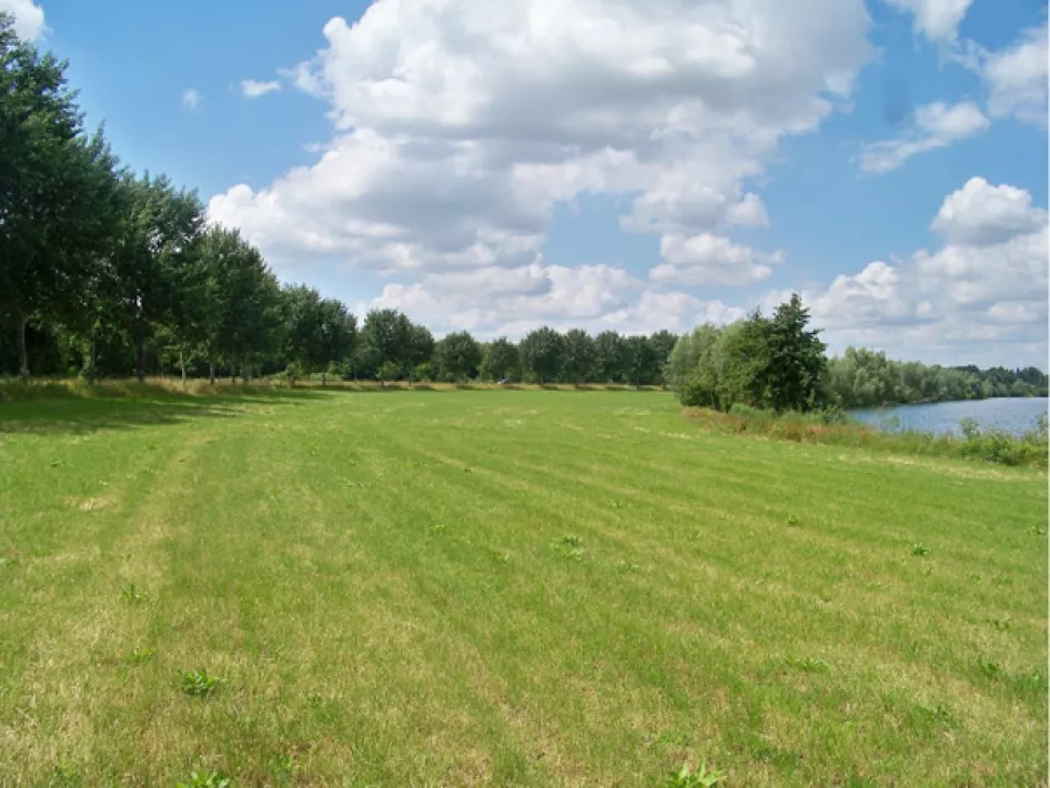
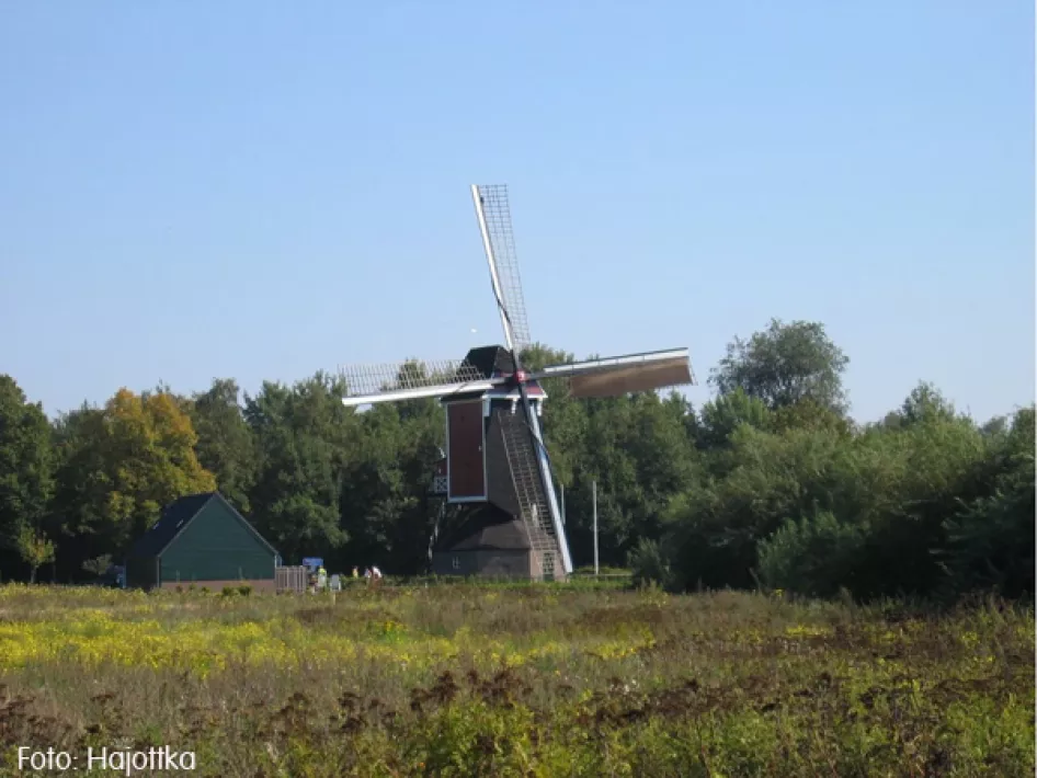
This walk will introduce you to the disentanglement of Heel and its surroundings. During the walk you will pass through St. Anna's Beemden, the Boschmolenplas, the Antoniusplas, the Polderveld and the Lange Vlieter. You will also pass several castles and windmills, a beautiful combination of natural views, water and culture.


