The route first leads through the Beesels Broek and then into the Bakhei. The landscape of the Beesels Broek developed after the original marshland was reclaimed. The river Meuse used to flow here. When it changed its course, peat began to form in the dried-up riverbed. In prehistoric times, the old Meuse branch formed an extensive hunting ground, undoubtedly rich in waterfowl and wetland wildlife.
During the turbulent times of the late Middle Ages, the river meander offered protection to the local population. They built a fortified mound (a schans) here, made relatively safe by the surrounding swamp.
Even today, groundwater still surfaces here, especially in the eastern part, where the low terrace transitions into the middle terrace. The seepage water flows in two directions: southward via the Teutebeek, which flows into the Swalm, and northward via the Huilbeek, which feeds the moat of Nieuwenbroeck Castle and eventually drains into the Meuse.
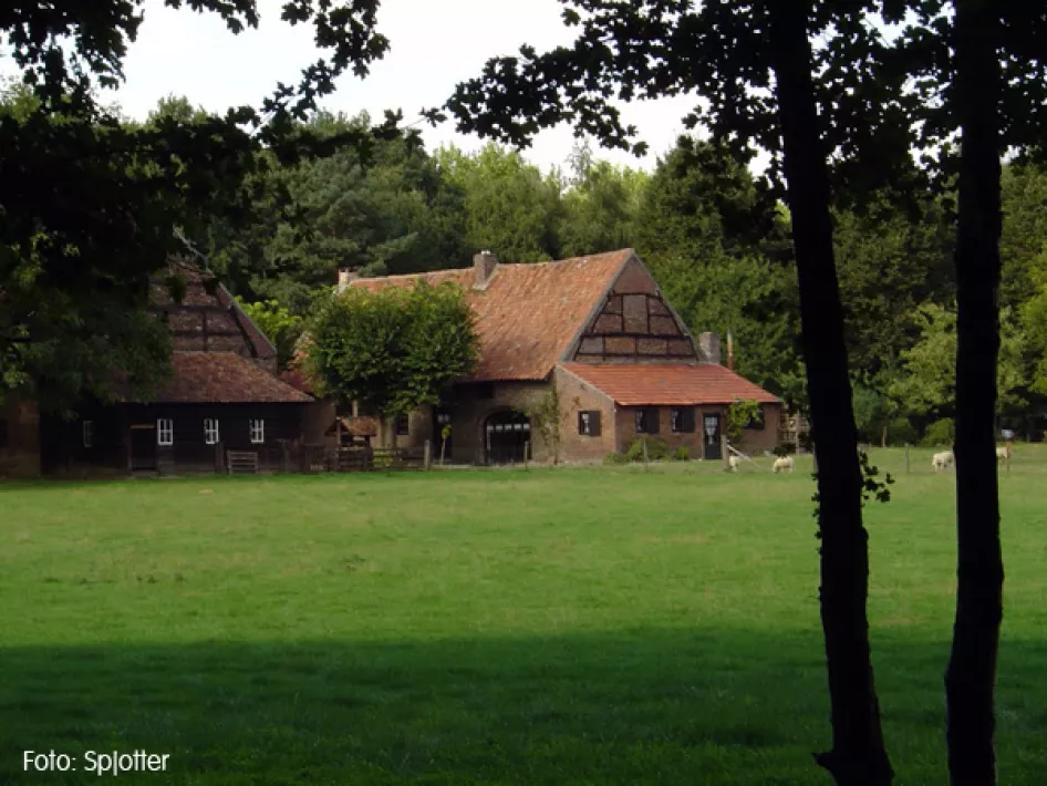
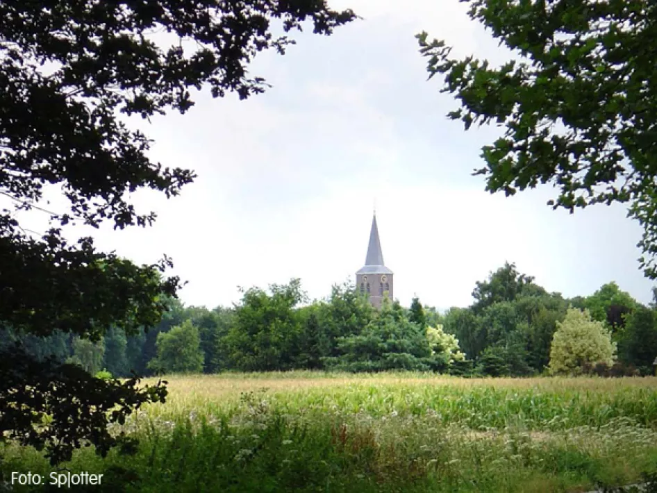
This area is characterized by wetlands and carr forests. The landscape of the Bakhei consists of mixed and poplar forests, orchards, farmland, and meadows.
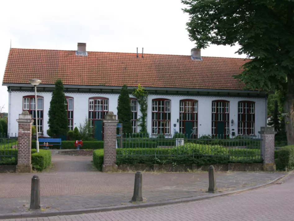
You start and end your walk at the Markt (Market Square) in Beesel.


