Stories along the Meuse
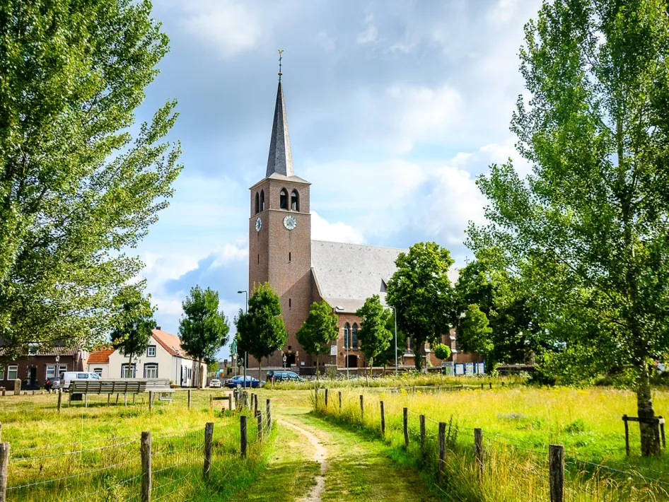
You begin opposite the church in Buggenum. From there, you walk into ‘Beautiful Buggenum’, a green area called Buggenums Broek. To your right lies the Dorpsstraat. In 1993 and 1995, floodwater rose as high as one metre inside the homes. In 2021, disaster was narrowly avoided, the water reached the very edge of the dyke.
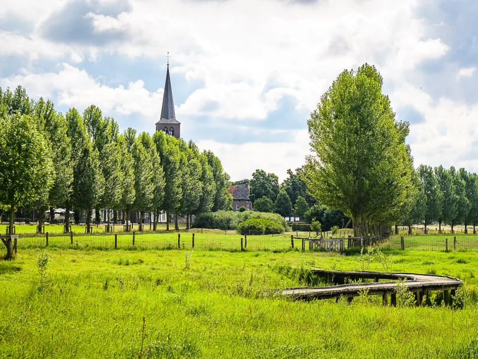
Then the route leads you out of the village. You follow a gravel path through the Buggenumse Veld. The landscape is open and tranquil. On your left you’ll see the Leudal nature reserve, ahead lies the village of Neer, and across the Meuse you can spot Roermond.
More than just nature
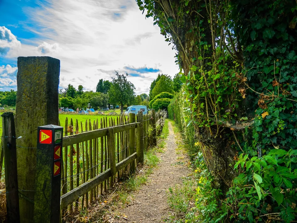
This low-lying area once allowed floodwater to enter the village. The path at junction 72 is part of a network of escape routes, crucial when the streets are submerged. Towards the end of the route, you’ll reach the chapel of St. Aldegundis. Step inside if you like. Many visitors light a candle here for someone who is ill.


