Walking Route National Park De Meinweg – Reewegroute

Starting location: car park Meinweg
Meinweg
6075 ND
Herkenbosch
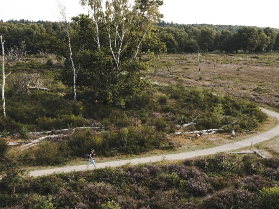
Walker on the Reewegroute through heathland and forest in National Park De Meinweg.
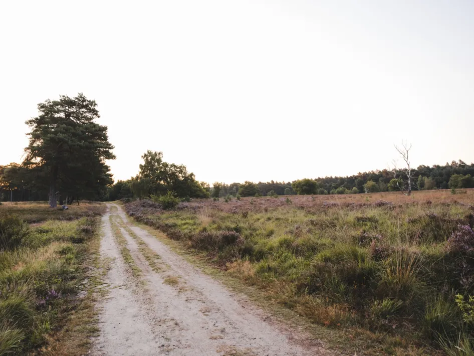
Sandy path through open heath landscape along the Reewegroute in National Park De Meinweg.
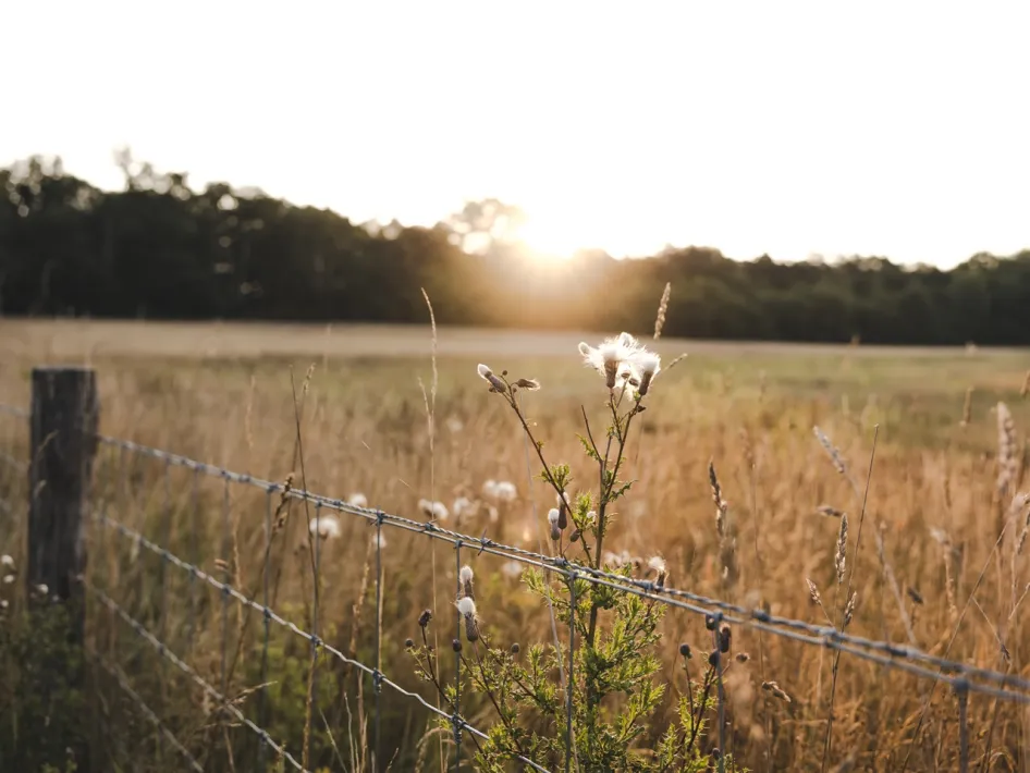
Evening sun over the fields along the Reewegroute in National Park De Meinweg.

Walking/hiking routes

The Reewegroute is a 3.4 kilometre walking trail through the varied nature of National Park De Meinweg. The route takes you over both paved and unpaved paths through a diverse landscape. You walk through deciduous and coniferous forest, past open fields and quiet lanes. Along the way you experience the special diversity of this unique national park.

Follow the green triangles

The Reewegroute is part of the Roerdalen walking junction network. Simply follow the green triangles on the posts along the route.

Starting point of the walk

The starting point is at the car park near the railway crossing, just past Huttopia De Meinweg. You can park your car here before starting the walk.

Map and information

The Reewegroute is included on the walking map of National Park De Meinweg. This map contains a total of 27 walking routes and is available at various tourist offices as well as in the Hart van Limburg webshop.
Properties
Route: 5-10 km.
Route from A to A
Marked route

Nearby

The distances mentioned below are the distances from the location above.

 
1,20km
Restaurant
 
3,36km
Terrace
 
 
5,21km
Terrace
 
5,88km
Lunchroom
 
8,50km
Restaurant
 
8,70km
Restaurant
 
8,72km
Restaurant
 
8,72km
Lunchroom
 
8,91km
Lunchroom
 
8,99km
Restaurant


9,23km
Restaurant