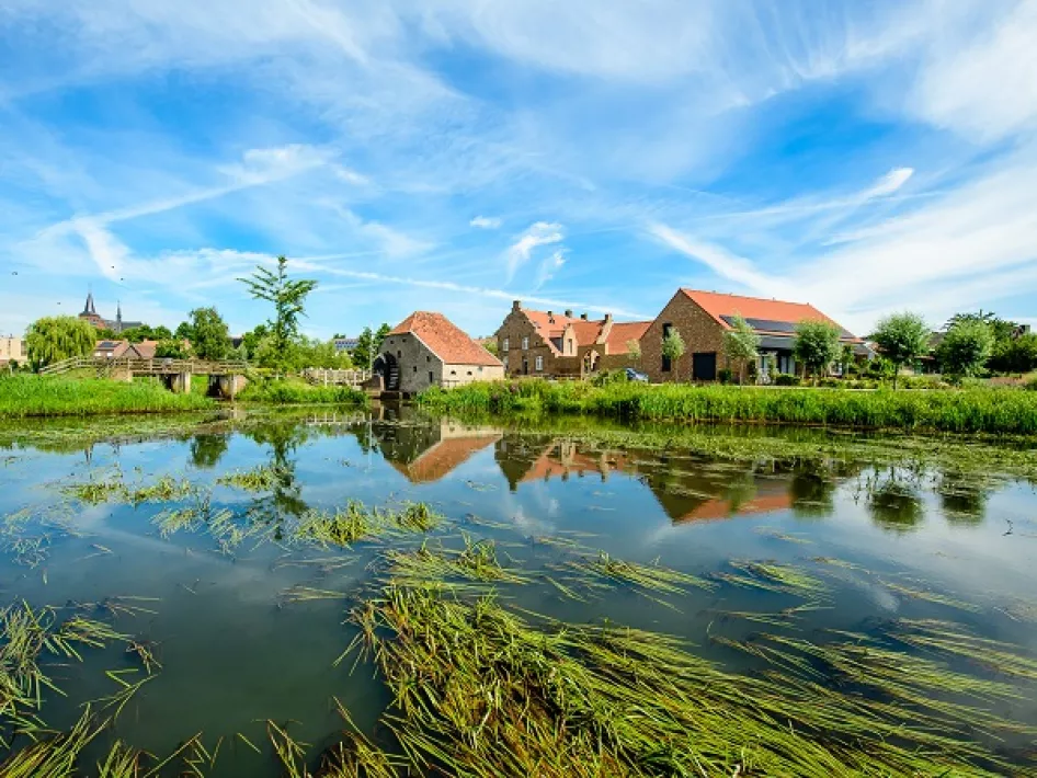
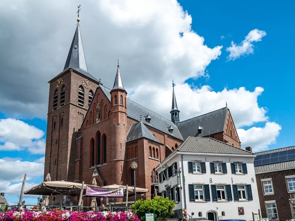
From the car park behind the monumental Sint-Martinus church, you walk for a bit through the village of Neer. Leaving the village, you come to the little river Kwir, created by the Peelrand fault (see information board). Walking down the cycle path over the small bridge, you see the monumental house 'Maxe-Grete' and continue the route past beer brewery Lindenboom. Before the bridge by the Neerbeek, the disused Hammermolen is on the left. Across the bridge you come to the dike that is part of the 'bypass', a diversion of the Neerbeek that diverts water around the village at high tide.
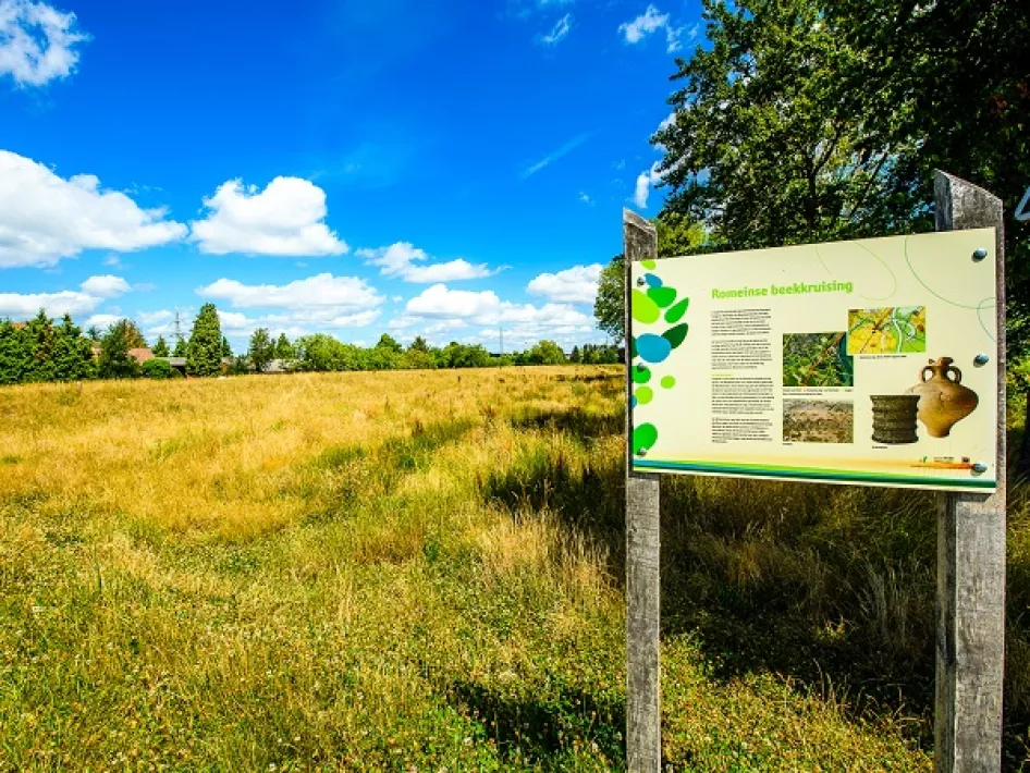
Next, you pass the 'Naerse Sjans', where during the Middle Ages inhabitants holed up from robbers and looters. And Eiland, an area that forms an island at high tide. At junction 40, you can still see the route of an old Roman road that ran through the stream at a ford a little further on. Further along beside the stream is the restored Friedesse mill, named after its owner Godefridus Tobben.
Junctions
6-5-25-28-2-3-6-61-36-46-40-41-7-22-6


