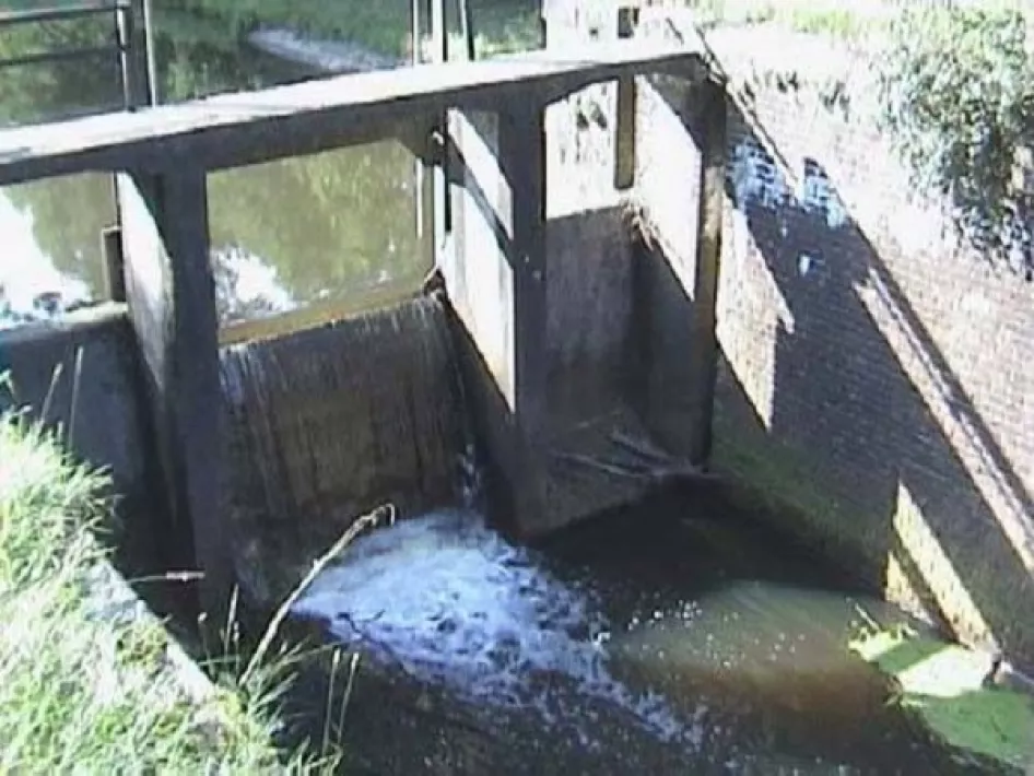
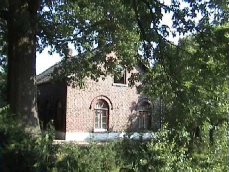
The total complex of the Afwateringskanaal falls under the municipalities of Leudal and Peel & Maas and consists of two former locks, a former unloading and loading area and an associated former lock keeper's house. In total, the drainage canal is almost 10 kilometers long.
The drainage canal was constructed at the place where the dead straight dry moat, "the Gekkegraaf", was dug in 1657. This was a moat between Kessel and Meijel to end endless border disputes between the former Principality of Liege and the Duchy of Gelre.
In order to bridge the decline in the terrain between the Noordervaart and the Maas, the construction of two locks with lock keeper's house was necessary. The canal initially carried the acidic peat water of the Peel and the excess water of the Zuid-Willemsvaart to the Maas. Later, this canal became increasingly important as a supply and transport route for peat, coal, fertilizer and wood. In 1861 the lock was put into use and restored between 1884 and 1886. In 1857 the house was realized.
When the Wessem-Nederweert Canal became more important in 1932, the drainage canal was closed to shipping. Now it only fulfills the function of a drainage ditch for surrounding land. The lock doors have now disappeared and there is a small weir in the rebate of the upper lock. The lock keeper's house of the Department of Public Works has been preserved in outline.
Sluizen en Sluiswachtershuis Afwateringskanaal
Sluizen en Sluiswachtershuis Afwateringskanaal
Schooldijk
6086 NN
NEER


The total complex of the Afwateringskanaal falls under the municipalities of Leudal and Peel & Maas and consists of two former locks.
Nearby
The distances mentioned below are the distances from the location above.
1,41km
Cycle route
1,72km
Cycle route
2,59km
Walking/hiking routes
2,59km
Cycle route
2,59km
Cycle route
3,43km
Walking/hiking routes
3,43km
Walking/hiking routes
3,43km
Walking/hiking routes
3,43km
Walking/hiking routes
3,43km
Walking/hiking routes
3,44km
Terrace
3,44km
Walking/hiking routes
3,44km
Walking/hiking routes
3,62km
Cycle route
3,80km
Walking/hiking routes
3,82km
Walking/hiking routes
3,86km
Restaurant
4,05km
Walking/hiking routes
4,56km
Walking/hiking routes
4,62km
Cycle route
4,62km
Walking/hiking routes
4,62km
Walking/hiking routes
4,62km
Cycle route
4,62km
Cycle route
4,62km
Cycle route
4,67km
Walking/hiking routes
4,74km
Lunchroom
4,74km
Lunchroom
4,74km
Restaurant
4,85km
Restaurant
4,93km
Walking/hiking routes
4,93km
Walking/hiking routes
5,59km
Walking/hiking routes
5,64km
Lunchroom
5,65km
Cycle route
5,67km
Restaurant
5,67km
Walking/hiking routes
5,67km
Walking/hiking routes
5,67km
Walking/hiking routes
5,68km
Walking/hiking routes
5,68km
Cycle route
5,68km
Walking/hiking routes
5,68km
Cycle route
5,68km
Terrace
5,68km
Walking/hiking routes
5,68km
Walking/hiking routes
5,86km
Walking/hiking routes
5,98km
Restaurant
6,00km
Cycle route
6,01km
Walking/hiking routes