Note Depth: SP-2.30m = NAP + 14.55m / SP-9.00m = NAP + 7.85m. Jetties.
Tourist harbour
Number of places for passers-by 20
Number of permanent places 390
Trailer ramp
Number of slipways 2
Location: Settings: 'LATITUDE: 51.198873, LONGITUDE: 5.96651'
Passenger Harbour Hatenboer
Camping Marina Hatenboer
Hatenboer 51
6041 TN
Roermond
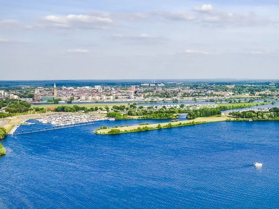
A 10 minute walk from the historic city Roermond is located on a peninsula in the Maasplassen area, camping and marina Hatenboer. The waterfront campsite offers space for 350 caravans and motorhomes. The fantastically equipped marina can accommodate 430 ships and a secure parking space for the car.
Nearby
The distances mentioned below are the distances from the location above.
0,91km
Cycle route
0,91km
Cycle route
1,02km
Cycle route
1,02km
Cycle route
1,02km
Cycle route
1,02km
Cycle route
1,02km
Walking/hiking routes
1,02km
Walking/hiking routes
1,02km
Walking/hiking routes
1,02km
Cycle route
1,02km
Cycle route
1,02km
Walking/hiking routes
1,02km
Cycle route
1,03km
Walking/hiking routes
1,03km
Walking/hiking routes
1,03km
Cycle route
1,04km
Cycle route
1,63km
Cycle route
1,89km
Walking/hiking routes
1,98km
Walking/hiking routes
2,14km
Walking/hiking routes
2,61km
Walking/hiking routes
2,64km
Walking/hiking routes
2,90km
Walking/hiking routes
3,81km
Walking/hiking routes
3,82km
Walking/hiking routes
3,86km
Walking/hiking routes
3,88km
Walking/hiking routes
3,97km
Cycle route
4,03km
Walking/hiking routes
4,12km
Walking/hiking routes
4,41km
Walking/hiking routes
4,66km
Cycle route
4,86km
Walking/hiking routes
5,25km
Walking/hiking routes
5,29km
Walking/hiking routes
5,42km
Cycle route
5,63km
Walking/hiking routes
5,65km
Cycle route
5,77km
Cycle route
5,85km
Walking/hiking routes
6,13km
Cycle route
6,15km
Walking/hiking routes
6,15km
Cycle route
6,15km
Cycle route
6,15km
Cycle route
6,26km
Walking/hiking routes
6,28km
Walking/hiking routes
6,28km
Walking/hiking routes
6,29km
Cycle route
