Location
The Linnerheide area is in the middle of the intensively used agricultural area in this region. Despite this isolation, it is freely accessible to pedestrians, and dogs may be brought on a leash.
Linnerheide
As its name indicates, the Linnerheide used to be a heathland area, located on ancient ridges of the Ruhr River. Today, the landscape is characterized by an alternation of thick American oaks, Douglas firs, young birches and extensive plantings of sweet cherry. This diversity of tree species provides a rich bird population. Among the special birds found there is the rare lesser spotted woodpecker, which even comes to breed there. In addition, the buzzard uses the area as a base to hunt in the surrounding agricultural area. On the north side of the area are sweet cherry, beech, oak and birch.
Hiking trails
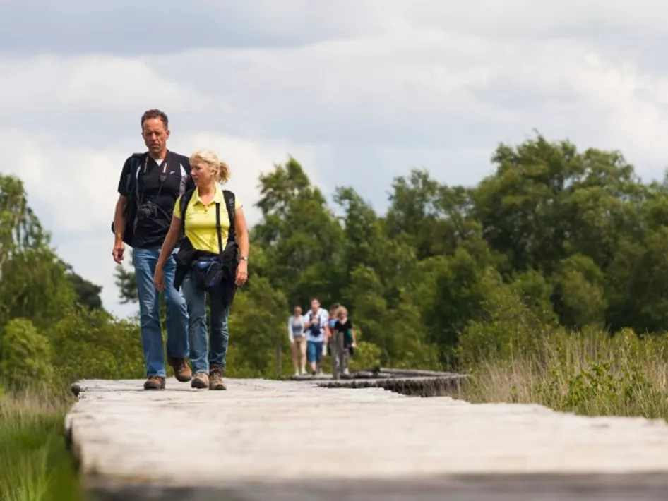
Linnerheide offers hikers a 5.5-km red hiking trail through the area. In addition, the famous Pieterpad runs through this beautiful nature reserve, making it an attractive destination for long-distance hikers as well.
Discover The Mortelshof
From adjacent roads, De Mortelshof is easily overlooked. Although the area itself is not accessible, it surrounds a large area of naturally managed fields. Due to the variety of cultivated agricultural crops, some of which are not harvested, this area is one of the greatest attractions for seed-eating songbirds during the win
